-

Various ASpec, DSpec, RSpec Projects
Various ASpec, DSpec, RSpec Projects
Various ASpec, DSpec, RSpec Projects
Category: Cadastral / Land Development, Government / Infrastructure
Principal: Various Land Developers and Civil Contractors
Duration: 2018-Ongoing
Location: Perth and Surrounding Areas
Project Description:
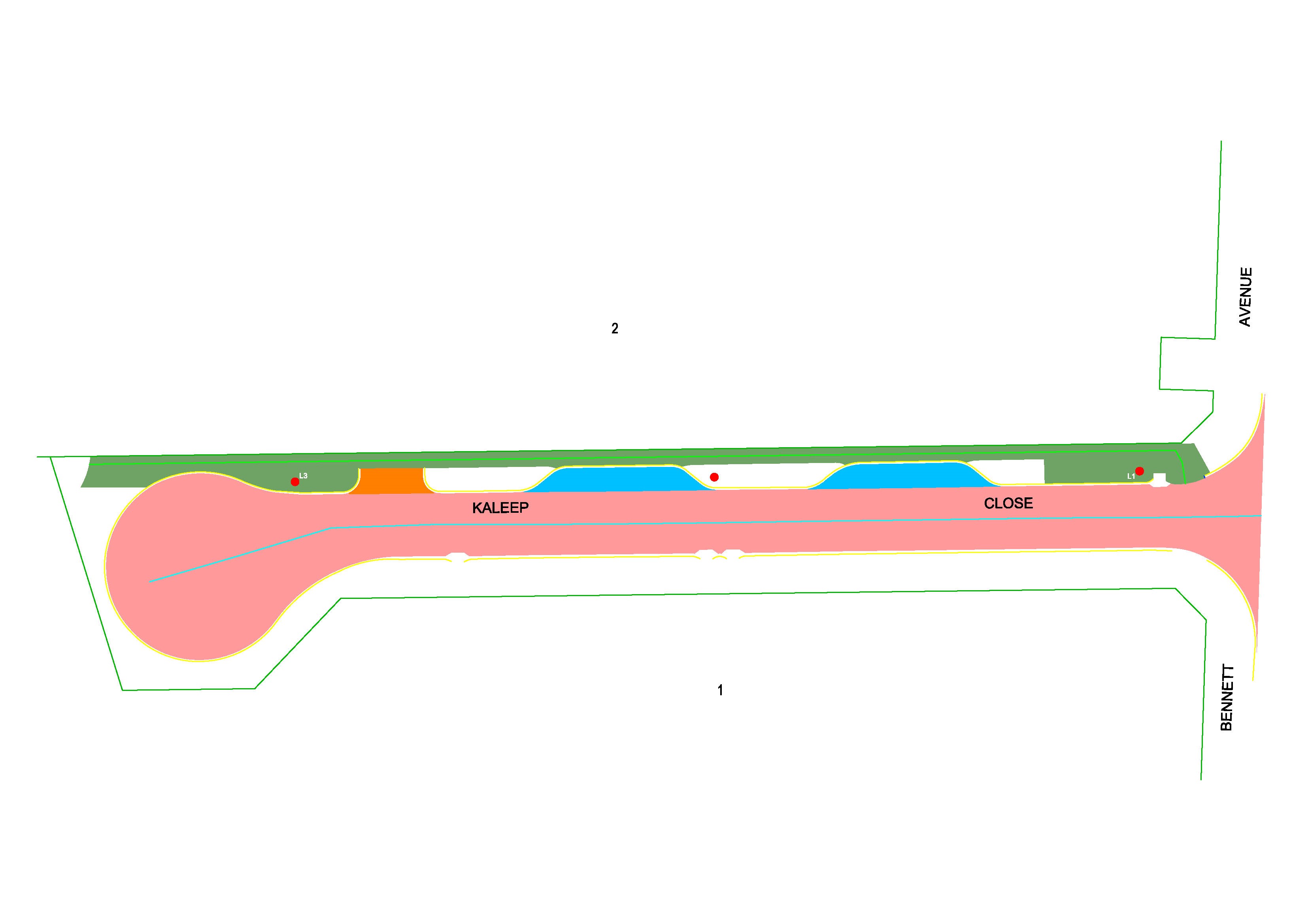
A-SPEC is the acronym for the program involved in developing specifications for the delivery of newly constructed assets as Digital Data in a GIS ready format to Asset Owners and Managers in Local Governments, Utilities and Water Authorities around the world.
The key objectives of the A-SPEC initiative is to streamline stake holders’ (local government/utilities/water authorities) processes for receiving, handling and storing of data related to newly constructed infrastructure assets either from subdivision developments or internal programs (e.g. capital works) in their GIS and AMIS.
Survey Scope:
ST Spatial have provided digital data relating to ‘As Constructed’ Assets in a GIS Format for R & D Specifications to the various local councils on numerous Subdivisional and Road Projects. We were required to survey the construction of Road and Drainage assets and prepare the data for GIS Exportation. ST Spatial completed all output deliverables addressing the collection of R & D-Specifications.